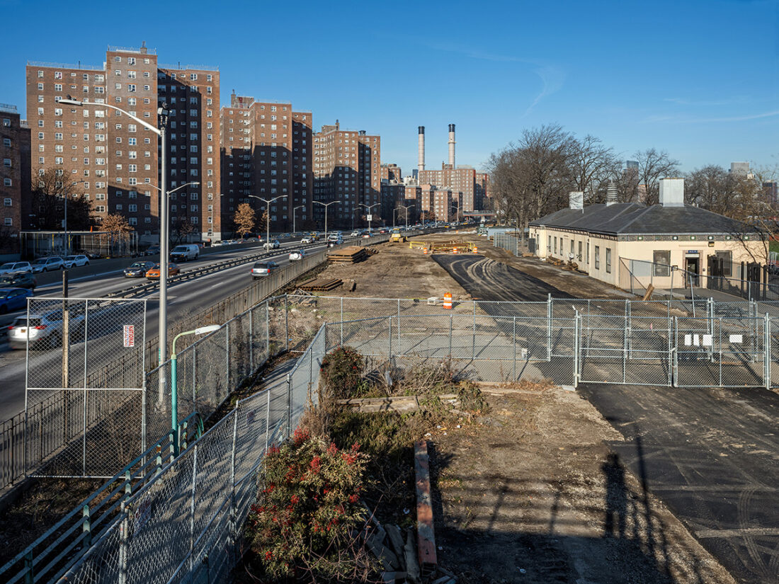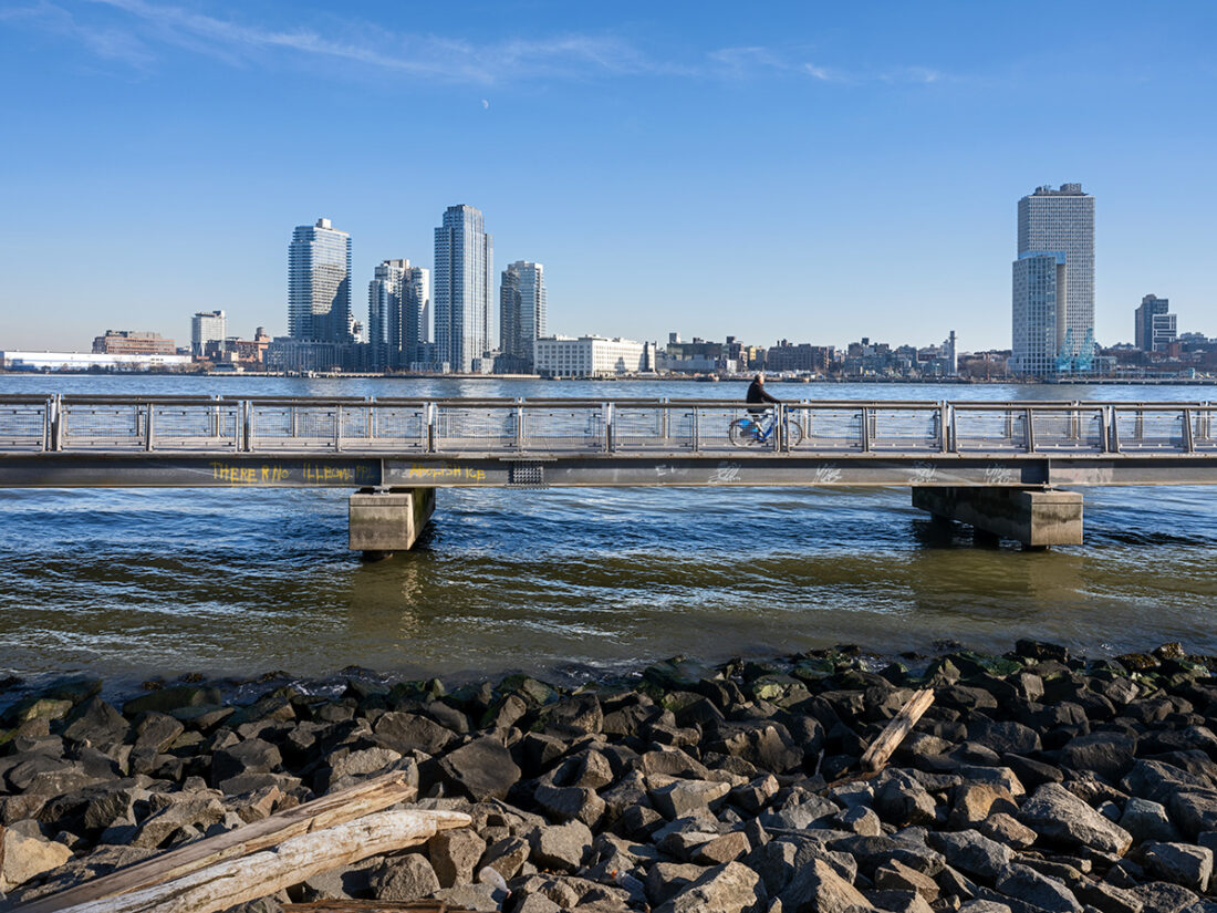
The shoreline of the Lower East Side was once an irregular geography of creeks and inlets and marshland. That natural landscape was transformed into a sawtoothed row of docks with adjacent warehouses, factories, power plants, and tenement housing. Then Robert Moses, master planner, tore it all down and extended Manhattan onto landfill in the East River. Housing projects replaced the tenements, and a highway was constructed between them and a strip of parkland along the river.

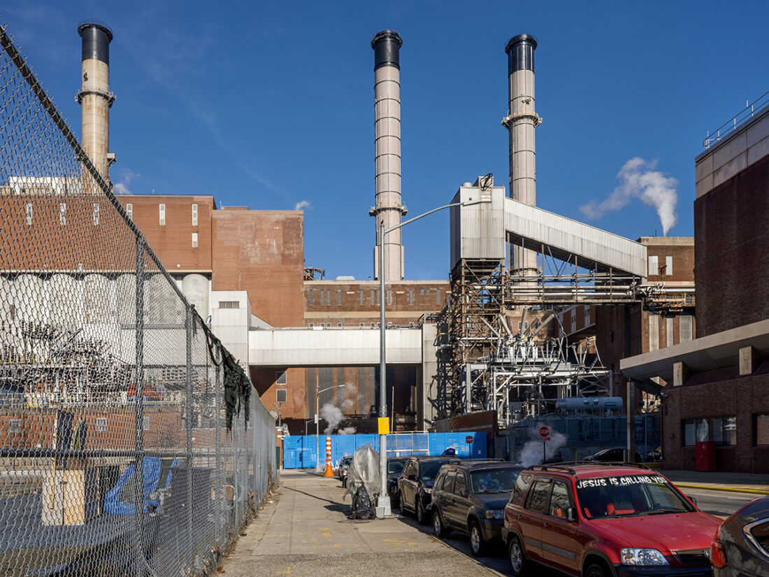
And then came Hurricane Sandy pushing water into New York Harbor and flooding this part of the Lower East Side. The water reached a transformer of the massive Con Edison powerplant, a vestige of the old industrial landscape of Manhattan, and an electrical arc took out the plant, plunging much of Lower Manhattan into darkness.
The city is now rebuilding East River Park, raising its profile against the ever-rising sea level caused by global warming. I took this picture from a pedestrian walkway bridging the FDR Drive, my shadow-self portrait at the lower right.
