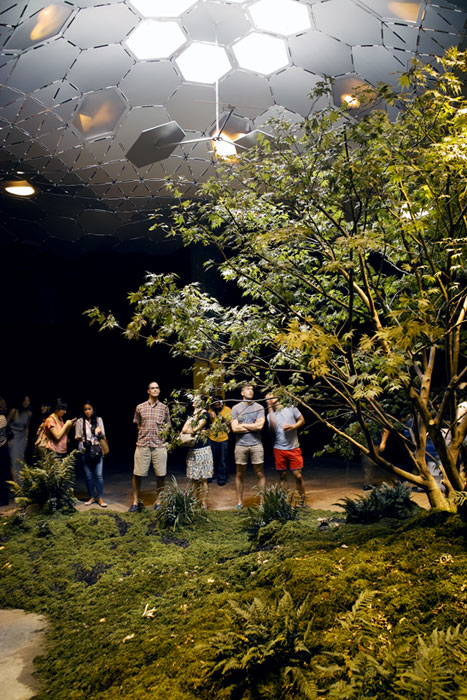
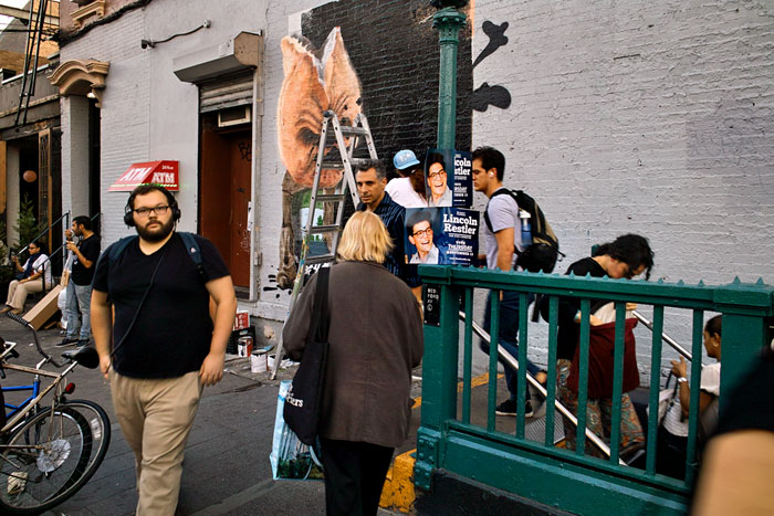
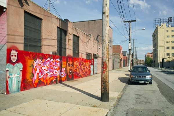
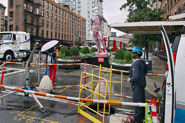
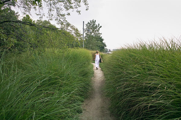
Rector Street — © Brian Rose
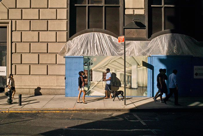
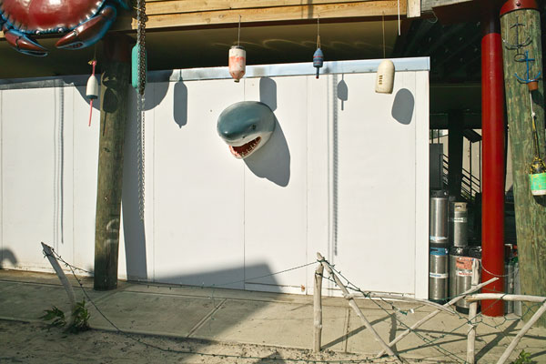
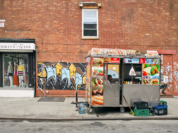
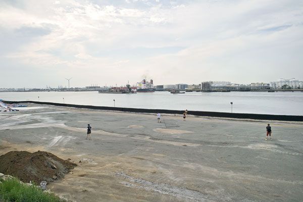
Rector and Greenwich Streets — © Brian Rose
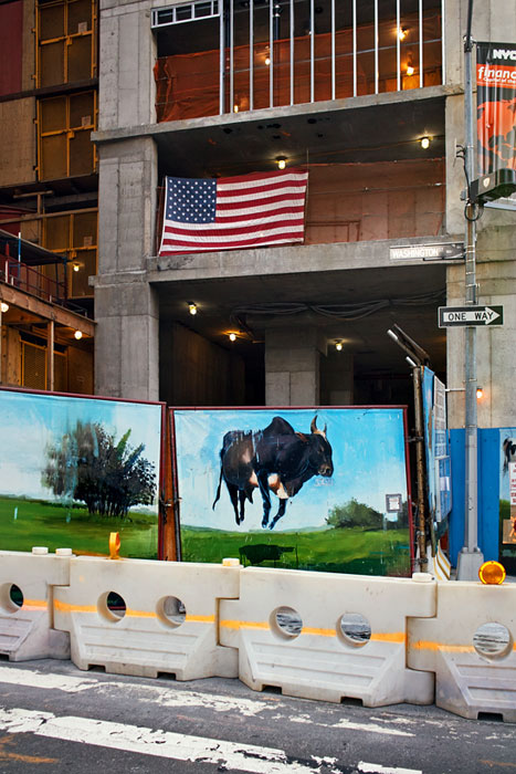
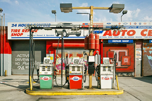
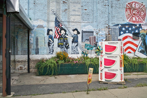
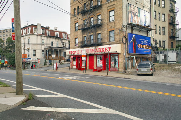
Rector Street — © Brian Rose
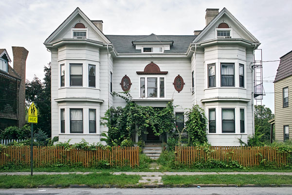
Without comment.
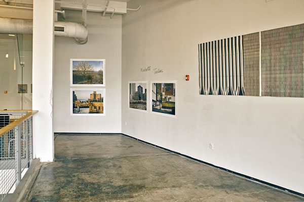
Manhatta Timeline, ArtSpace Buffalo — © Brian Rose
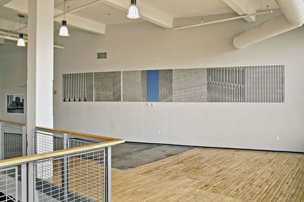
I am presently exhibiting work at ArtSpace Buffalo, a non-profit gallery, along with paintings and drawings by J. Tim Raymond and Robert Harding. Tim, who is the organizer of the show, lives in Buffalo, and Bob Harding is a painter from New York City. The gallery is in an old factory buildings converted into artists lofts, and because of its immense size, I opted to show large pieces. The photographs are 40×50 inches and the mural, WTC, which I previously mounted on a sidewalk shed on East 4th Street in the East Village, is 4×28 feet.
Manhatta Timeline, ArtSpace Buffalo — © Brian Rose
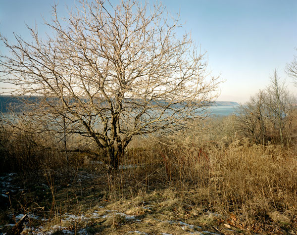
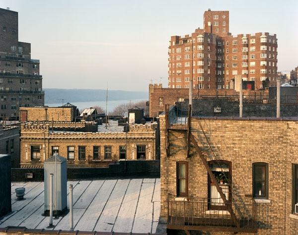
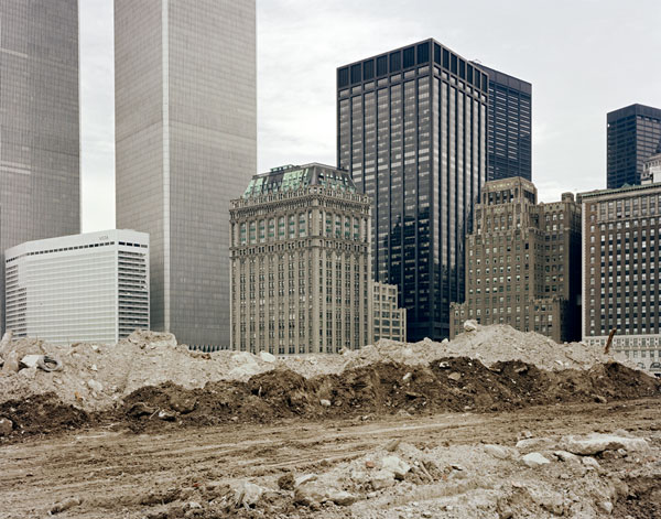
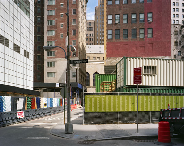
The title of my part of the exhibition is Manhatta Timeline and takes its name from the short film made by Charles Sheeler and Paul Strand in 1921 featuring images of New York City. The name is derived from the original Indian name for the island, Mannahatta, and the film includes quotes from the Walt Whitman poem of the same name. Timeline refers to the sequence of four images that begin at the north end of Manhattan in Inwood Park with the Hudson River and Palisades in the background. The sequence then moves down the Hudson to the World Trade Center in the 1980s, and concludes with a multi-layered urban scene from 2012 that includes a sign with the names of those killed on 9/11. The montage of WTC closeups is itself a visual yardstick with a searing strip of blue sky in the middle.
…I see that the word of my city is that word from of old,
Because I see that word nested in nests of water-bays, superb,
Rich, hemm’d thick all around with sailships and steamships, an
island sixteen miles long, solid-founded,
Numberless crowded streets, high growths of iron, slender, strong,
light, splendidly uprising toward clear skies…
Inwood Park (4×5 film) — © Brian Rose
Hudson Heights (4×5 film) — © Brian Rose
World Trade Center (4×5 film) — © Brian Rose
Washington Street (4×5 film) — © Brian Rose
It’s not often that I get to showcase my photography and music together. This is an interview on BreakThru Radio about my book Time and Space on the Lower East Side. Thomas Seely, the DJ, typically mixes indie rock songs with his interviews with visual artists. He does the same in my case, but also plays my song Tenement Stairs, which was written back in 1980 when I first photographed the neighborhood. I originally recorded the song for the Fast Folk Musical Magazine, but this is a newer recording.
I really love how the whole thing turned out. It’s internet radio, so you can listen at your leisure.
BreakThru Radio interview
Brian Rose’s new book of photographs, Time and Space on the Lower East Side, is all about how we experience change, or lack of it, in the urban environment. The book is a collection of large format color photographs taken on the streets of New York City’s Lower East Side in the years 1980 and 2010. Over those 30 years the Lower East Side has gone from being a symbol of urban blight and decay to a poster-child for urban renewal and gentrification. But, Brian’s book is not a collection of side-by-side comparisons contrasting two different eras of the neighborhood, like the books in which a picture from one location is juxtaposed with a picture taken from the same spot many years later. Instead, the photographs in Time and Space on the Lower East Side reveal the year in which they were taken through small details like a pedestrian’s bellbottoms, the design of a parked car, or the typography on a billboard. That is, if the photos reveal their age at all. More often than not you can’t really tell what year any given picture was taken in without a thorough examination.
This is what makes Brian’s book so unique: it looks at what stays the same in a city as much as it does the things that are gentrified, torn down or rebuilt. It forces us to move past simplistic story-lines about a neighborhood’s transformation and look more carefully at the urban landscapes we move through every day. This approach provides a rare opportunity to see one of the world’s most over-photographed cities in a new way.
Recently I visited Brian at his studio on the Lower East Side. We talked about the neighborhood’s apocalyptic feel in the 1980s, why he returned to the Lower East Side in 2010 to photographs, and how for him, sometimes doing nothing is the best way to make a photograph.
The above paragraph is from the ICP school catalog for this fall. Anyone interested in taking the class, Photographing New York: The Lower East Side, please follow this link. The last time I taught this class, we made a terrific book , which is viewable on the Blurb website here.
We begin the class by walking through the Lower East Side together, talking about its history, geography, and we discuss the changes that have overtaken the neighborhood in recent years. Throughout the semester I show the work of prominent photographers who have made images of the LES. From there, each student picks a theme or subject to photograph, and the next 4 or 5 weeks are spent making pictures. After that, the process of creating a book begins. We arrive at a conceptual framework, develop a layout, and work up the images in Photoshop or Lightroom. The final session is a book presentation and party. The whole class is only ten weeks, so a lot has to get done in a very compressed time period. Last year, it was a nail biting experience for me–would we get it all done in time? But the final product was completed on schedule, and I have to say, it was all quite exhilarating.
If you want to learn a lot about photography, the Lower East Side, bookmaking, and, perhaps, something about yourself, join in the fun and sign up.
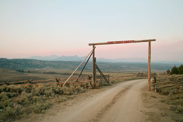
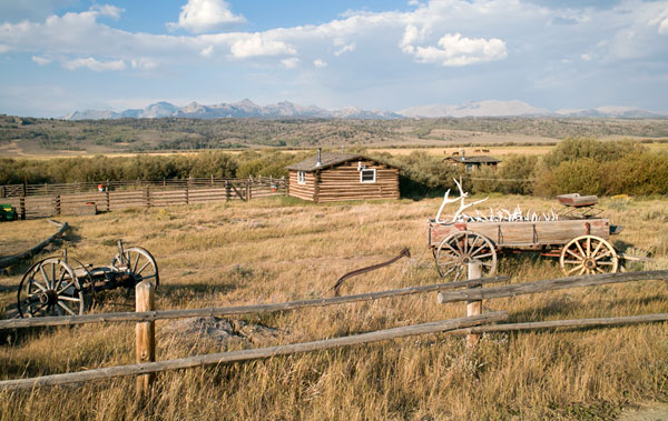
Big Sandy Ranch gate — © Brian Rose
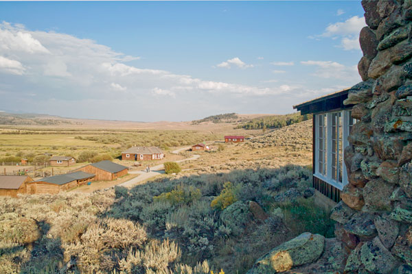
We arrived just before dark to the Big Sandy Ranch in the desolate Mars-like landscape of Wyoming on the western slope of the Wind River Range. Fires burning far to the west produced a haze that reddened as the sun went down. The ranch is located at the confluence of three creeks coming out of the mountains making it a favorable spot for grazing cattle or sheep, although at almost 8,000 feet, snowed-in for much of the year.
Big Sandy Ranch — © Brian Rose
The history of the ranch is microcosm of American western history. First occupied by the Shoshone Indians, then explored by the mountain men and beaver trappers, then a way station on the Oregon Trail, it saw thousands of wagon trains heading for California and Oregon. The original trail ran a short distance away over the South Pass, a gradual incline over the Continental Divide, and the spur of the trail running through the ranch, called the Lander Cutoff, was created as a more expeditious route to the west.
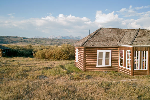
Big Sandy Ranch — © Brian Rose
Very little has changed on the ranch since the days of the Oregon Trail. Some of the structures are original, others have been modified or added to. A Native-American made teepee stands next to the so-called “Lincoln Cabin.” Sam Leckie was the first owner, and operated the Sheepherder’s Delight, a saloon that was the scene of numerous murders, most notoriously his own, leaving the place to his pregnant wife and several children.
Orrin Moore, in the employ of Posten brothers, had trouble with Mr. Leckie in the store and was ordered out and fired at several times. He proceeded to his wagon, secured his Winchester, and returning fired at Leckie who was standing in the door, hitting him between the eyes, and literally tearing off the top of his head.
The motto on a sign at the saloon read:
LIVE WHILE YOU LIVE, FOR YOU’LL BE A LONG TIME DEAD
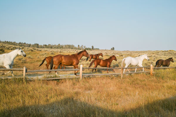
For decades the property was operated as a dude ranch with guests staying in the various cabins. Eventually, the Flanigan family bought the ranch, named it the Big Sandy, for the largest of the nearby creeks, and continue to maintain the historic nature of the structures and landscape. A full accounting of the history of the ranch can be found here
They were in the Rocky Mountains, by God, with no lawmen to tell them what to do, no tax men to charge them for doing it, & no preachers or high-falutin’ women to tell them that a man’s pleasure wasn’t right.
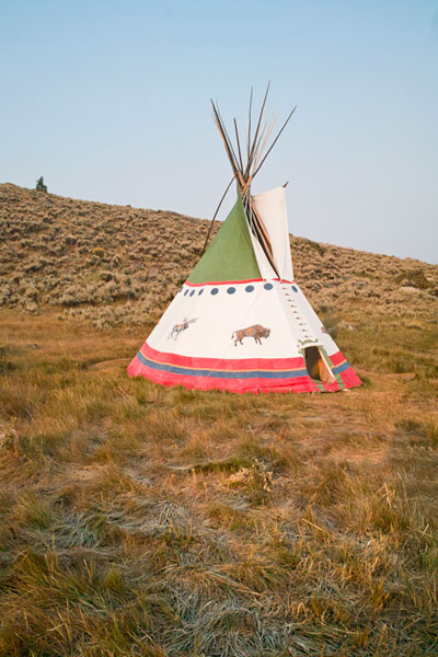
Big Sandy Ranch teepee — © Brian Rose
It was the homeland of the Shoshone Indians and provided summer camps for the Bannock, Crow, Gros Ventre and Blackfoot. Sheepeaters lived high in the mountains. Indians ranged over every part of what is now Sublette County from the edge of the high glaciers to the desert. They hunted to survive. It was then as it is today, one of the greatest wildlife habitats ever known.
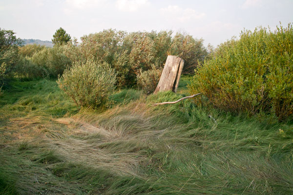
The Big Sandy Ranch — © Brian Rose
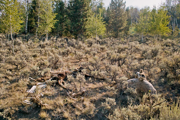
Dead moose cow on the Oregon Trail — © Brian Rose
The pictures above were made with a digital point-and-shoot, but some of them I also did with my 4×5 view camera–to be processed later. I stayed at the ranch and surrounding area for a week. Made a few stops at points along the Oregon Trail, and drove up to the Grand Tetons and Yellowstone National Park. I also visited friends at another ranch only 20 miles from the Big Sandy. I met a number of wonderful people at the ranch, and am grateful to my dear friend Brigid Flanigan for inviting me to enjoy this special place with her family.
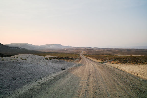
Somewhere in Wyoming — © Brian Rose
I haven’t posted anything for about a week because I’ve been here (see above). No internet, almost no phone, no paved roads, only a couple of hours of electricity a day. Despite that I managed to keep my camera battery charged as well as take a few photographs with my 4×5 camera, which, of course, does not require charging anything.
I’m back in New York, and will post some more photos shortly.
9/11 Memorial on Staten Island — © Brian Rose
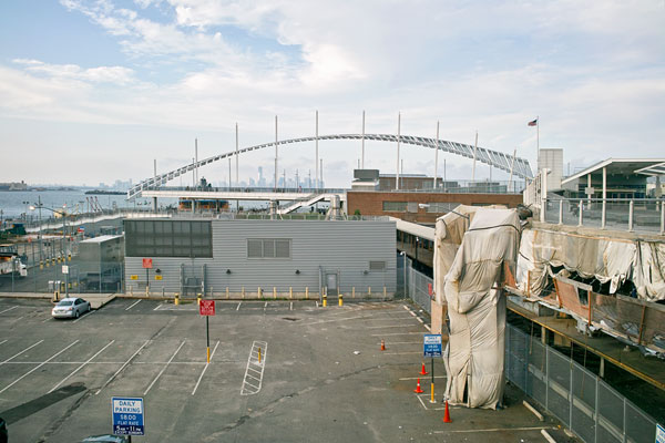
My wife and headed down to Staten Island Saturday afternoon to take part in the latest installment of stillspotting nyc, a series of art projects dealing with the urban environment sponsored by the Guggenheim Museum. This one, called Telettrofono, was an audio walking tour of the St. George neighborhood of Staten Island. It told the story of Antonio Meucci and his wife Esterre who came to Staten Island from Italy. Meucci, an inventor, who also worked in the theater, developed a precursor to the telephone, a telettrofono, some years before Alexander Graham Bell patented his ultimately successful invention.
I didn’t know what to expect when we arrived on the Staten Island Ferry. The weather was threatening as a storm cell slid by to the northwest. We were given iPod Nano’s and a map and sent out along the harbor promenade to begin our walk. The audio accompaniment was created by sound artist Justin Bennett and poet Mathea Harvey and blended the factual and imaginative into a mesmerizing aural experience. It has been described by others as like being in a movie.
Along the waterfront of Staten Island — © Brian Rose
I hadn’t planned to take photographs of the walk in a comprehensive way–I figured I’d snap a few pictures here and there. But as we stepped out onto the promenade and walked by the 9/11 memorial nearby, I was struck by the strange, preternatural light and warm breeze caused by the passing storm. The atmosphere felt almost tropical and the comical potted palms near the memorial added to the effect. I began taking photographs, the soundscape and voices of Telettrofono in my ear.
Staten Island waterfront — © Brian Rose
There were others participating in the walk as well, though not so many as to be distracting. We passed through an industrial area, now used for salt storage, directly by the main shipping channel leading to the port of Elizabeth. We then headed uphill past a farmer’s market, some rundown apartment buildings and housing projects, and then into a neighborhood of large early 20th century houses, many of significant architectural character.
Richmond Terrace, Staten Island — © Brian Rose
St. Mark’s Place, Staten Island — © Brian Rose
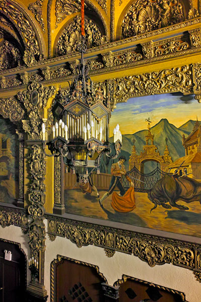
The St. George Theatre, Staten Island — © Brian Rose
We then descended the hill toward the ferry terminal and entered the St. George Theatre, an elaborately baroque, shabby interior, and sat in the balcony as the story of the Meucci’s came to a close and the voice in our ear said “curtain.” From there we walked back to the ferry terminal, returned out iPods and headed back to Manhattan on the ferry. In the end I took over 30 photographs during the walk.
St. George ferry terminal, Staten Island — © BrianRose
Many of the photographs in this blog have been made during walks, sometimes of short duration, other times over several hours. It has become part of my modus operandi as a photographer. Sometimes I regret not having a higher resolution camera, or my view camera, with me. But the reality is that many of these short bursts of photography are only possible because I can carry a digital camera in the pocket of my cargo pants.
After looking through the photographs I took in Staten Island I decided to make the whole walk available on my website. It was inspired by what I was experiencing aurally, but it’s also a perfect example of the kind of thing I do as a photographer, a visual reconnaissance –to borrow from my Lower East Side book title–of time and space.
The full walk can be seen here.
Amsterdam waterfront — © Brian Rose
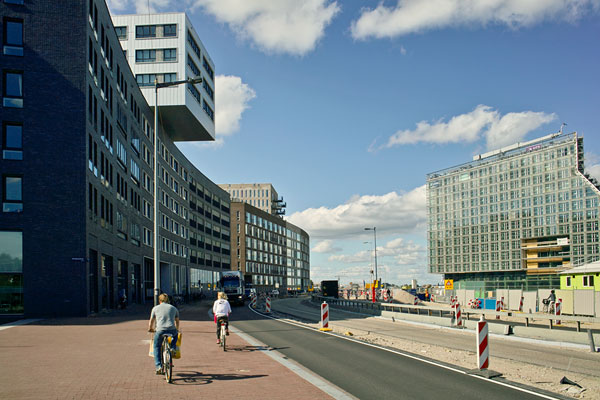
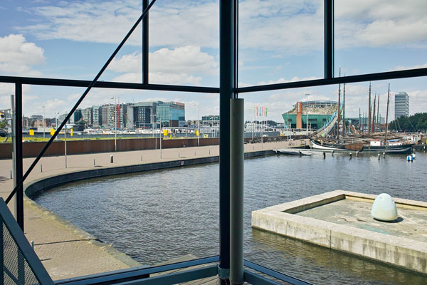
The last photographs from my recent trip to Amsterdam. These were taken along the waterfront of the city on the Ij, once an inlet of the Zuider Zee, now an inland waterway connecting to the North Sea and the Rhein River. Although little new construction is underway in Amsterdam because of the economic crisis in Europe, there are major projects that are completed or near completion along the Ij. Above one can see Nemo, the science museum, designed by Renzo Piano, on the right. And to the left the new library/hotel/office complex adjacent to Central Station, partially finished. This picture was taken inside Arcam, the Amsterdam architecture center. I did not use my view camera on this walk–all were made with my point and shoot digital.
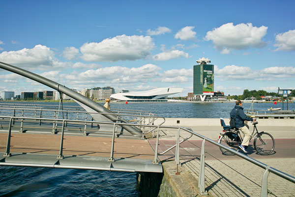
Eye film museum and Shell Building — © Brian Rose
Across the Ij (pronounced eye, more or less) is Eye, the new film museum of Amsterdam. It is designed by the Austrian firm Delugan Meissl Associated Architects and does a wonderful architectural tango with the Shell Tower from 1966. The latter building is currently empty and for sale.
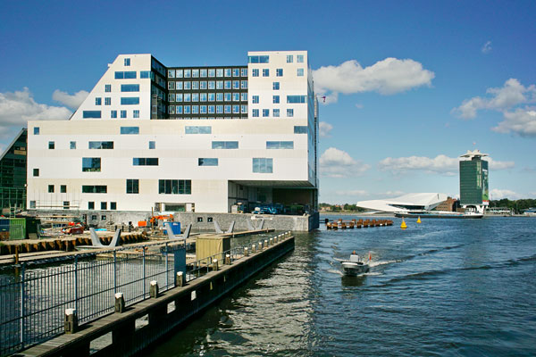
Ijdok complex and film museum — © Brian Rose
Nearing completion is the Ijdok, a multi-purpose complex including courts, hotel, offices and residences perched on a pier on the water. click here to see computer generated renderings of this fascinating ensemble of buildings.
Westerdoksdijk — © Brian Rose
Westerdokseiland — © Brian Rose
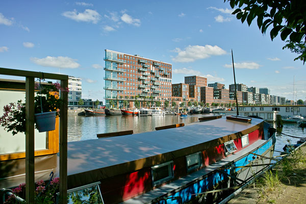
A narrow strip of land that previously served as a rail siding for the nearby Central Station is now a handsome row of apartment buildings with inner courtyards and pedestrian promenade along the water. This new neighborhood lies within a few steps of the old canal district of central Amsterdam.
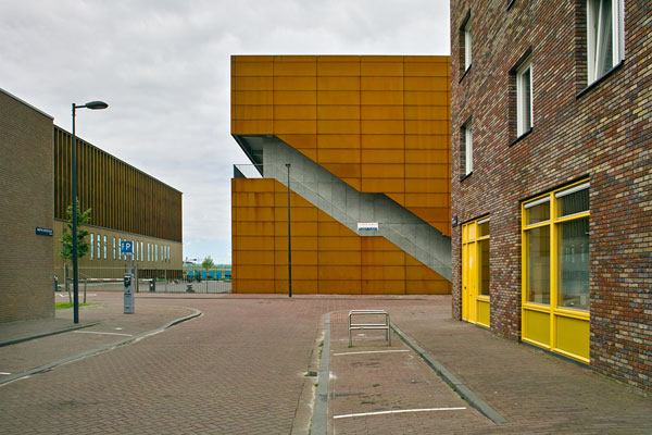
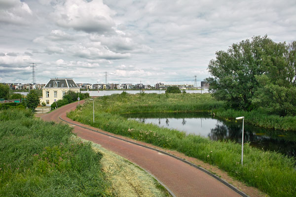
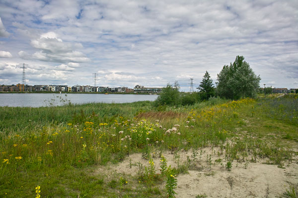
On my last day in Amsterdam the weather improved and I was able to get out with the view camera. I picked up where I left off five years ago in Ijburg on the edge of the city. The view then was of mostly empty landfill–it is now densely built. But it still feels detached to me from the rest of the city, and during the day, somnolent, empty. I took one photograph of a residential street that leads to a row of commercial office buildings, and then crossed over a bridge to the Diemerzeedijk, a historic dike that once protected Amsterdam from the vicissitudes of the Zuider Zee. The area has been used as an industrial dumping ground and remains polluted, though now contained. It is being developed as parkland.
© Brian Rose
© Brian Rose
© Brian Rose
© Brian Rose
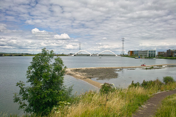
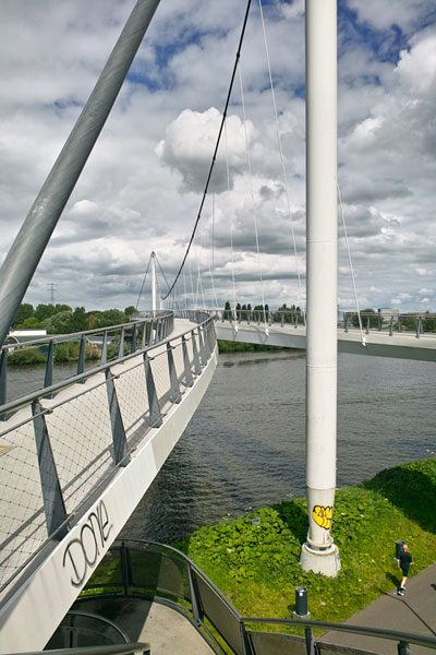
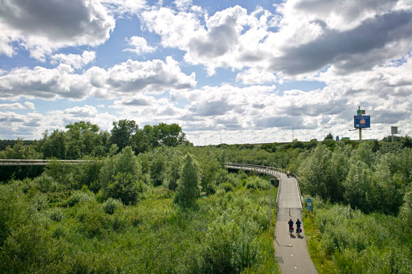
In the distance one sees the Enneüs Heerma Bridge designed by Nicholas Grimshaw, and following a bicycle path one crosses a busy shipping canal on a spectacular bridge, the Nesciobrug, designed by Jim Eyre. A long looping causeway leads to the bridge allowing for a gradual incline. The Amsterdam Ring highway stands a short distance away with its billboards.
© Brian Rose
© Brian Rose
All of these photographs were made with the 4×5 view camera as well as my pocket digital. The sun shone in and out through a broken deck of clouds, a striking phenomenon all afternoon. I feel both alienated and at home in these transitional areas of the city–places that are neither here nor there. It’s how I felt in general during the 15 years I lived in the Netherlands traveling back and forth to New York. I was an untethered agent caught between continents and cultures. Although I am now ensconced in New York City, I easily slide back to that state of uncertainty, in which the world appears new and strange. Even in my hometown.
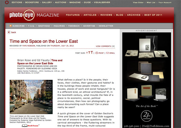
Review in Photo-Eye Magazine
After four days on the island of Texel on the coast of the Netherlands, I am now in Amsterdam. Day before yesterday we had a book party for my Dutch friends and Kickstarter backers. It took place in a beautiful house in the canal district near the Rijksmuseum, and we had at least 30 guests. The atmosphere was warm and convivial. Yesterday, we got a late start, but were able to enjoy some sterling weather (finally), and walked around the center of the city. I stopped in Architectura and Natura, one of my favorite bookstores in Amsterdam, and I am hoping to have Time and Space for sale there soon.
The review I have been waiting for just came in from Photo-Eye written by Faye Robson. Here are a few quotes:
With its carnival atmosphere – the fluttering streamers in the top third of the frame, multi-coloured buildings and cars, and the dynamically positioned boy who swings a baseball bat right into the centre of the image – the image seems to suggest a clarity of vision to match the clarity of composition.
Layering and multiplicity are watchwords for this collection; from the texts that pepper the book – ranging in subject and tone from the macro-historical to the anecdotal (the General Slocum disaster) – to the views across streets and round corners that lay bare the city grid, both its thriving and desolate spaces.
Despite its title, the book cannot even be read in a straightforwardly chronological manner. The photographs are divided fairly evenly between those taken in 1980, in collaboration with Ed Fausty, and images made in 2010 by Rose alone. However, the structure of the book thwarts attempts to compare and contrast the two sets of images either formally or with respect to the neighbourhood they document.
That Rose decided to use a view camera for this project reveals a great deal about his approach – these clear, sharp, detailed images present more visual information than the eye can take in. They are a view across time and space, beyond the merely human perspective. This complex and handsomely-presented project is a portrait, or map, of a place, which challenges our assumptions about urban street photography.
This is an in depth review–the first one to really dig into what the book is about, and I am very pleased with it. Read the whole thing here.
Texel, The Netherlands – © Brian Rose
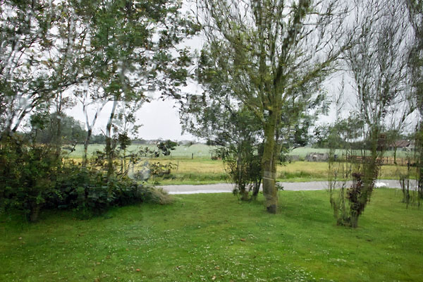
Uh oh. After a couple of decent days, the weather has deteriorated. This is the watery view out of the picture window of our house in Den Hoorn at the south end of Texel on the North Sea coast. Tomorrow we head for Amsterdam.
The Slufter, Texel, The Netherlands – © Brian Rose
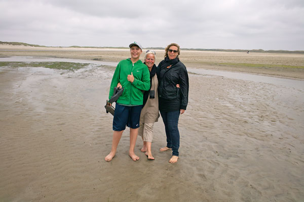
Yesterday, we drove around the island revisiting the campsite where my wife’s family used to go for summer vacation. It’s now little houses with lots of amenities instead of tents. Nearby is the Slufter, a tidal inlet among the dunes. We walked through it about a half mile to the sea. Depending on the time of year, tide, and weather, it can be mostly dry or mostly covered by water. Only a small stream flowed through at the time of our walk.
That’s Brendan my 13 year old son on the left, An, my mother in law in the middle, and Renee, my wife on the right.
Texel – © Brian Rose
Despite a less than stellar forecast, the weather stayed beautiful all day, and I took my 4×5 camera for a four hour trek through the dunes that stand between the North Sea and the polder on the inland side of Texel. Left alone, the island would be a narrow arc of shifting sand rather than egg-shaped as it is now. At least 2/3 of the island is artificial land.
Texel – © Brian Rose
The pictures here were made with my pocket camera, but all were based on compositions set up with the view camera. Sometimes, I actually place my point-and-shoot on top of the 4×5 camera to take as close to the same view as possible. The walk was a 6 mile loop on grassy trails and sand, and I did most of it barefoot. It got a little tough slogging through deep sand with my photo equipment, but mostly this was an easy, pleasurable, walk. Had the weather been less favorable, the whole experience would have been radically different.
Texel – © Brian Rose
An odd object that looked like giant shipwrecked calculator with numbers and symbols was leaning against a dune. A few nude sunbathers were lying in the swales of sand just out of view.
Texel – © Brian Rose
A little further along near a parking lot and snack bar there are storage huts that are owned or are rented by frequent users of the beach.
Texel – © Brian Rose
On the road back to the village of Den Hoorn where I am staying.
Texel – © Brian Rose
Back at the house at the end of my walk I was offered a plate of new herring, cut into small bite size pieces served with diced raw onions. The Dutch are not known for their haute cuisine, but it doesn’t get any better than this.